7/31/15 – 8/7/15 The End of the Trent-Severn Waterway
7/31/15 - 8/1/15 To
Fenelon Falls (Lock 34)
We
travelled about 15 miles to get to Fenelon Falls. Lock 34 is the only lock we
went through.
Below
are some shots along the way.

And this was entering Fenelon Falls.

We
tied up to the wall in the middle of the town. We were able to get electric
here so the fridge stayed nice and cold. We were limited to 2 nights at this
location on the wall. Actually, almost all locks have a 2 night limit. The
exception is a few who allow you to stay only one night.


This
was a delightful little town and since it was a week-end it was quite busy.


8/2/15 To Sunset Cove Marina in Bolsover, Ontario
This
picture should indicate how shallow the water can be in some places along these
waterways.

Note
the man standing in the water and all of the boats beside him in the marina.
Our boat extends 3.5 feet below the surface. Some boats our size and larger
need 5 feet.
We
went through Lock 35 into Balsam
Lake which was the last of the locks to lift the boat. At this point we were
over 840 feet above sea level.
We
found some unique sites along this section of the trip.


 |
| Do you think it will be big enough? |

Lock 36, Kirkfield Lift Lock, was the first lock down and also
the second lift lock on the waterway. The following pictures are of our trip
down.
 |
| We enter the pan. Note nothing but tree tops ahead. |
 |
| Almost at the bottom |
 |
| At the bottom, waiting to leave |
.
Here is the famous Hole in the Wall Bridge in Canal Lake. This bridge was constructed in 1905 and has a 28’ vertical clearance. It sure doesn’t look that tall when you are approach.

We
pulled into Sunset Cove Marina and
spent the night.

8/3/15 – 8/5/15 On to Orillia, Ontario
This
portion on the trip took us through Lake Simcoe. It is the largest lake on the
Trent Severn. It is roughly 20 miles long and 16 miles across. This can be a
very dangerous lake because storms are known to come up quickly. We did not run
into a storm but we still went through about 3 foot waves.
 |
| Opening to Lake Simcoe |
 |
| It really is this green! |
 |
| And his blue! |
The following spots are on the lake just before entering the narrows.


This is entering Port of Orillia and the adjacent Couchiching Beach Park.


We
stayed 3 nights (paid for 2 and got 1 free). This deal and this stop should not
be missed. There was a grocery store and LCBO (Liquor store) nearby along with
a few restaurants. We checked out the city. The area had some large hills so we
did more walking than we did bike riding. We had a wonderful meal at Cosmo’s
Restaurant which was up the hill, but definitely worth the walk.
8/6/15 To Severn Falls, Ontario
 |
| French’s est. in 1920, just across the park |
 |
| Sidewalks were bumped out into the street to allow outdoor dining |
 |
| Shops along the main street |
 |
| Tour Cruises |
8/6/15 To Severn Falls, Ontario
The
first part of this trip took us across Lake Couchiching. This is another
shallow lake full of islands and rocks. Then we entered the Severn River which
is the last portion of the waterway.
Hope
you enjoy these pictures along the way.


 |
| Yep! Another personal sea plane |


8/7/15 End of Trent Severn and out into Georgian Bay
We
travelled down the Severn River which had its share of islands too.
 |
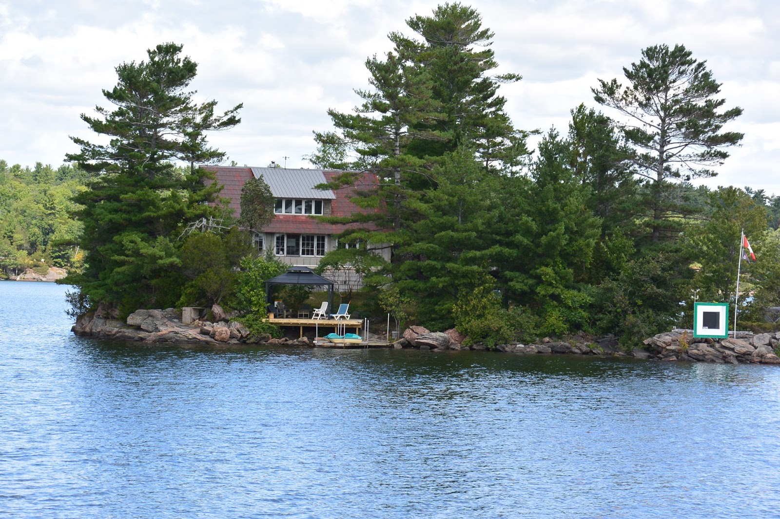
| This was an island house |

 |
| Some islands are not inhabited |

Below
are some interesting boats we passed today


Then
we reached “Lock 44”. This is
actually not a lock at all but is called “Big
Chute” and is a railway lift. In this instance the boat is removed from the
water and placed in slings on a railway car bed which then travels over the
ground and then placed back in the water at the other end.
These
are pictures of some boats being lowered into the water where we are waiting.


These
pictures are of our trip over the 58 foot rail lift (down for us).
 |
| Our approach |
 |
| Getting the slings into place |
 |
| Our ascent |
 |
| At the top |
 |
| Our descent |
 |
| At the bottom re-entering the water |
 |
| looking back at the empty carriet |
We
then continued down a narrow channel called “Little Chute”. We actually passed 3 boats going the other way.

Some
interesting sights along the last part of the Severn.
 |
| I want to do a jigsaw puzzle of this one |
 |
| This one’s for sale if anyone’s interested |
 |
| These folks have a distinct case of whimsy! |
 |
| Lock 45 (last lock and end of Trent-Severn) |
This was our last lock and the end of the Trent-Severn Waterway. The entire waterway was 240 miles long. We ascended 607 feet and then descended 261 feet. From here we continued into the Georgian Bay.
Nice! You've got me looking at maps to follow your trip LOL.
ReplyDelete