7/11/15 – 7/15/15 The Erie Canal
Bear
with me while I inflict upon you a little history. The Erie Canal was originally built between 1817 and1825 and was 363 miles
long. It was designed as a man-made ditch and used mules or horses to pull the
boats from what was called a towpath. It connected the Hudson River with Lake
Erie and other Great Lakes. Today’s version uses some canals (man-made) along
with natural rivers and lakes. We will be taking the Erie Canal to get from
Waterford to the Oswego Canal. This will only take us through the Eastern Section and about half of the Middle section of the Erie Canal.
7/11/15 Locks 2 – 10 with a stop at Great
Amsterdam Riverlink Park
Our
first lock (No. 2) was just ahead of where we had been docked for two nights,
just beyond the bridge with construction work occurring. I have provided a number
of shots of our 34 foot ascent.
I
promise I will not do this for each lock. But I will be showing you some
additional pictures of other locks that have different looks to them or work differently.
 |
| Closed doors to lock beyond bridge construction |
 |
| Exit doors at top of lock |
 |
| Entry doors after ascension |
Leaving
Lock 4 with Lock 5 dead ahead.


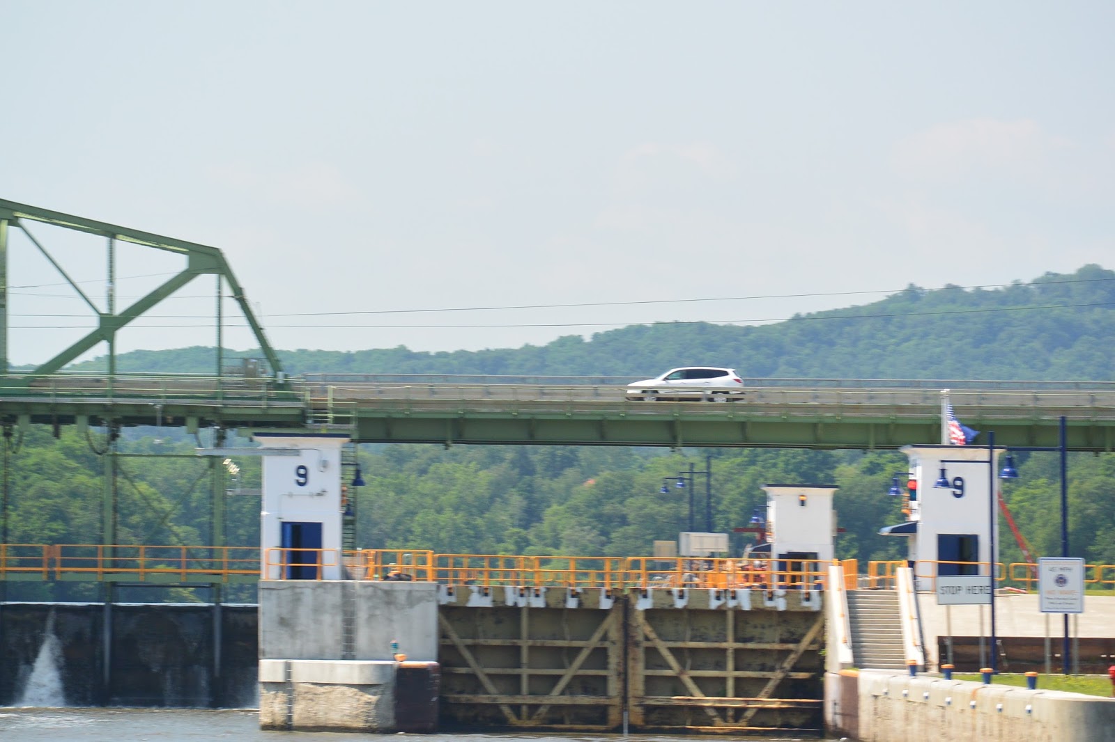
Lock
9 actually has a traffic bridge above the lock and its dam.
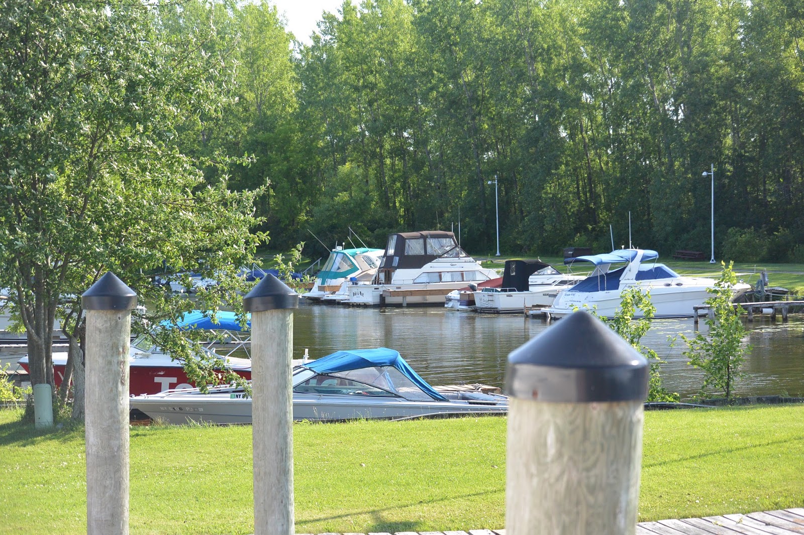
We
passed numerous different types of boats and tugs tied to the walls before
and/or after the locks. These docking areas are complimentary.


We traveled
7 hours today. We covered 37.3 miles and went up a total of 255 feet. In a normal 7 hour day would
usually cover about 60 miles.
We
stopped at Greater Amsterdam Riverlink Park for the night. They greeted us with
a municipal band recital just outside our boat. The only downfall of this
otherwise lovely park was the continual and all through the night train
traffic.


7/12/15 Lock 11 thru 17 with a night at the Little
Falls Canal Harbor
Lock
14 was a little unique in that it did not have a connected dam. Most of the
previous ones did.

The St
Johnsonville Municipal Marina (between Lock 15 and 16) appeared to be having
some type of bass fishing tournament.


Lock
17 is the largest single step lock on the Erie canal (40 feet), and it is one
of only two locks in north America where the lock gate is lifted above the
boat. The other is in Canada on the
Ottawa River.


 |
| 40 feet is a long way up |
 |
| Exit door as it begins to lift |
We ran
for about 6.5 hours and covered 41.4 miles and went up another 108 feet.
We docked for the night at the Little Falls Canal Harbor.


Locks
18 thru 20 were the last locks on this portion of the Erie to continue to
elevate the boat. Lock
21 was the first lock to actually lower us. Note the difference in the look of
the approach and entry into this one.


This
was my day for noting some great looking restaurants along our route.

 |
| Aqua Vino |
We
traveled for about 6 hours and
covered 50 miles and we went up
another 57 feet and then came back
down 50 feet.
We
stopped for the night at the Sylvan Beach Free Dock. This is a really cute little
place and has its own Amusement Park. Sylvan Beach is actually on the shore of
Lake Oneida which we will be crossing tomorrow.


7/14/15 – 7/15/15 Oneida Lake to Brewerton, NY
We crossed
Oneida Lake which is the largest body of water on the Erie Canal system. This
crossing of about 20 miles was made in a sprinkle to a downpour. Luckily, it
did not get rough, but I didn’t get much in the way of pictures. We are
currently on the Oneida River, but this is also a part of the canal system.
Some
interesting sites once we entered the Oneida River.
 |
| Waterfront Restaurant (we ate here) |
 |
| A dock bar along the way |
 |
| Really cool looking house along the river |
We
ran for 3 hours and covered 22 miles with no elevation change.
We
are docked at the Ess-Kay Yards in Brewerton.
No comments:
Post a Comment